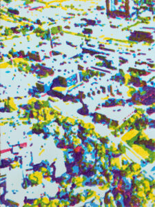
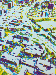
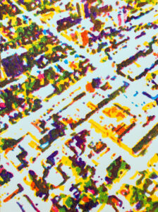
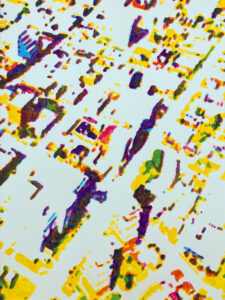
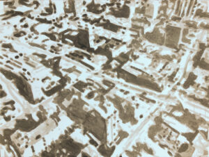
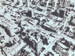
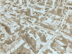
These works depict aerial views of downtown Kitchener and the University of Waterloo campus.
The “views” shown in these works are highly mediated through technology: They are based on images taken from Google Earth Pro, which were then blurred and separated (by value or hue, depending on the work) in Photoshop. Each resulting separated image (“channel”) was then projected onto paper and then painted or drawn in ink, one layer on top of the next.
The resulting images are abstractions. The original source itself is not an aerial photograph, but a “snapshot” taken using a virtual camera positioned within a three-dimensional model of the city. The result is idealized: Building shapes are sharpened, there’s no vehicle or pedestrian traffic, etc. Blurring further simplifies the structure and distances it from its referent (the actual city), as does the channel separation and the imperfections of using projection as a basis for transferring the image layers to paper.
The idea is based on Gerhard Richter’s Stadtbild (“townscape” or “cityscape”) series, in particular Stadtbild Madrid, which I saw in San Francisco a few years ago. Richter has used projection as the basis for many of his paintings. Across the Stadtbild series, he plays with how loosely the projected details are painted, but what is striking about the work is how the general look of the source image is maintained when viewed at a distance even when the details are painted very imprecisely.
